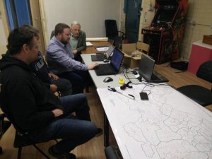
OpenStreetMap (OSM) Ireland members will meet Saturday 18th of June in Dublin and do OSM mappy stuff on laptops in TOG. Like an indoor mapping party / hack day / social meet up / barcamp.
What is OpenStreetMap?
OpenStreetMap is a world wide, open content map. It’s often referred to as the Wikipedia of maps in reference to the fact that it is open to be edited by anyone.
If you’d like to learn more about OpenStreetMap, come along! Want to start mapping your local area, and want help? Come along! Want to find out how to use the low level OpenStreetMap data? Come along! This event is open to all.
If you’re already an OSM mapper and would like come, but not sure what to do, don’t worry we have loads of townlands to map and plenty of people who will give you a hand learning the details.
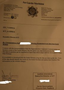
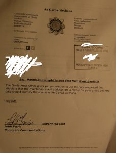
We will also be discussion the recent permission obtained from the Gardai to use Mobile Speed Camera locations on openstreetmaps and on apps that use that data.

In addition there will also be a meeting of the Irish Open Source Geospatial Foundation. OSGeo was created to support the collaborative development of open source geospatial software, and promote its widespread use.
Where and When?
Tog Dublin Hackerspace
Saturday 18th of June 2016 2-5pm
The monthly social takes place from 7pm on the day, so if you hang around you can take part in the open social.
Open Street Map Ireland Website
Open Source Geospatial Foundation
Garda Speed Camera Information

